How Spacecraft Navigate Deep Space Without GPS
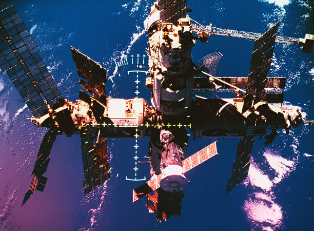
The first line of navigation is usually not onboard. NASA’s Deep Space Network and similar ground stations point giant radio dishes at the spacecraft. By measuring how long a signal takes to go out and come back, engineers calculate range. By measuring the slight shift in radio frequency, they calculate velocity. That is called Doppler tracking. This gives a very precise fix, but it has limits. The further away the spacecraft is, the longer the signal takes. A command sent to a probe near Mars can take minutes. Near Jupiter, it can take almost an hour. For a future Mars colony or a fast-moving crewed ship, waiting for Earth to say “turn left” is not always good enough.
That is why spacecraft carry their own sensors. Star trackers take pictures of star patterns and compare them to a catalog. Since stars are effectively fixed, the tracker can tell the spacecraft exactly which way it is pointing. Sun sensors do a rougher version of the same job. Gyroscopes measure rotation. Accelerometers measure changes in speed. An inertial measurement unit, or IMU, combines those readings to estimate motion even when no stars or planets are visible. The flight computer fuses all of it with a Kalman filter, a math tool that weighs noisy data and produces the best estimate of position and attitude.
For the final approach to a planet, moon, asteroid, or landing pad, spacecraft increasingly use optical navigation. A camera takes pictures of the target against the background stars. Software identifies craters, coastlines, or known landmarks. By tracking how those features move, the spacecraft can calculate its own path without waiting for Earth. This is terrain relative navigation. It is already used for landing. Future lunar landers and Mars sample return vehicles will lean on it hard. The same idea works with lidar, which bounces laser light off the ground to build a 3D map.
The black box is the other half of the story. In aviation, a black box is a crash-protected recorder that stores cockpit audio and flight data. Spacecraft do not always carry a literal orange box built to survive a high-speed impact. But they do carry something just as important: a system that records commands, sensor readings, attitude, velocity, temperatures, voltages, and fault codes. That data is downlinked to Earth, sometimes in real time, sometimes in bursts when a communication window opens. Engineers use it to reconstruct exactly what the guidance system was thinking. If a thruster fired at the wrong time, a star tracker lost lock, or a Kalman filter drifted, the recorder shows it.
This matters more as spacecraft get smarter. Autonomous navigation means the vehicle may make decisions without a human in the loop. That is necessary for Mars missions with long communication delays, for swarms of small satellites, and for reusable landers that need to touch down precisely. But autonomy without good records is a nightmare. If an algorithm makes a bad call, you need to know why. Was the sensor wrong? Was the map outdated? Did the software confuse a shadow for a crater? A strong black box architecture gives engineers the evidence. It also helps certify crewed spacecraft, where every guidance decision can affect human life.
The future of deep space travel depends on making navigation less dependent on Earth and more transparent when it fails. Star trackers, IMUs, optical cameras, and lidar will keep improving. Flight computers will run better filters and maybe machine learning. Ground stations will still matter, but they will become a backup and a check, not a leash. The black box will evolve too, from a simple telemetry log into a detailed flight history that can be replayed on the ground. That is how we get from “we think it missed the target” to “we know exactly why it missed, and here is the fix.“ Without that, every deep space mission is just a guess with rockets attached.
Space News
Latest Articles
New rockets, upcoming launches, and the stories shaping humanity's push off this planet. No astronomy degree required.