Star trackers and the celestial navigation update
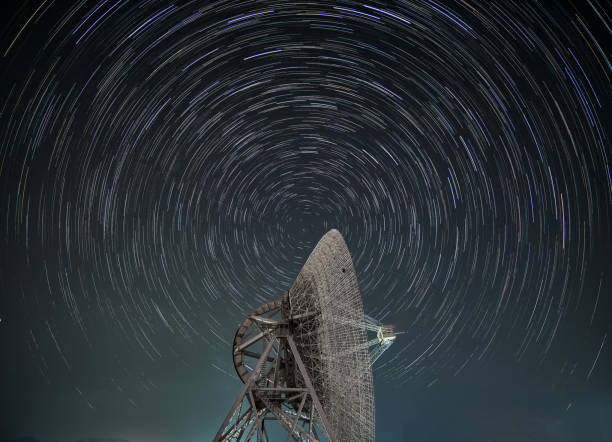
Star trackers aren’t new. They’ve been around since the earliest days of spaceflight. Think of a star tracker as a camera bolted to a spacecraft that takes pictures of the night sky. It compares those images against a built-in star catalog to figure out exactly which way the spacecraft is pointing. It’s like looking at the Big Dipper to find north, except the computer does it in milliseconds with accuracy down to a few arcseconds. That’s precise enough to keep a telescope aimed at a distant galaxy or ensure a lander hits a specific crater on the Moon.
But traditional star trackers have limits. They work great in stable orbits around Earth, where the stars are bright and the background is dark. Push them further out, and problems pile up. Sunlight glare can wash out faint stars. High-speed rotation scrambles the images. And the catalogs themselves are static, based on star positions measured decades ago. In deep space, a star’s apparent position shifts due to parallax or proper motion, and older catalogs don’t account for that drift. For a mission like the upcoming Artemis lunar landings or a future trip to Titan, a few arcseconds of error can mean missing your landing zone by kilometers.
That’s why the celestial navigation update matters. Engineers are now integrating star trackers with artificial intelligence and real-time astrometric data. Instead of relying solely on a fixed star catalog, these new systems cross-reference live feeds from space telescopes like Gaia, which maps the precise positions of nearly two billion stars. The spacecraft can download updates mid-mission, correcting its orientation as star positions shift due to the spacecraft’s own velocity or gravitational lensing from nearby planets. One prototype, developed by a team at MIT, uses a convolutional neural network to recognize star patterns even when the camera is rattled by thruster burns or partially blinded by solar flares. The result is a tracker that stays reliable when the hardware is under stress.
This isn’t academic. NASA’s upcoming VERITAS mission to Venus, which launches later this decade, will use an upgraded star tracker to navigate the planet’s thick, cloudy atmosphere without relying on Earth-based radio commands that take minutes to arrive. The Europa Clipper, set to explore Jupiter’s icy moon, carries a pair of star trackers built by Ball Aerospace that can operate in Jupiter’s brutal radiation belts. Those units are hardened against particle strikes that would corrupt a standard CCD camera. They also include a built-in gyroscope that backs up the optical data if the camera gets blinded by a sudden flare.
For spacecraft that go beyond the asteroid belt, the update is critical. At Saturn or Neptune, sunlight is too weak for solar panels, and radio signals from Earth are delayed by hours. The spacecraft must navigate itself. The new star trackers run on low power, often under 10 watts, and can switch between different star catalogs depending on the region of the sky. Some models even fuse star tracker data with inertial measurement units to keep orientation during thruster burns when the camera is vibrating. This hybrid approach lets the spacecraft guess its attitude based on the last known good star image and then correct itself once the burn ends.
The commercial sector is paying attention too. SpaceX has hinted that its Starship, designed for Mars missions, will rely on a redundant suite of multi-head star trackers. Blue Origin’s New Glenn upper stage uses a similar system for precise orbital insertion. Private satellite operators are also adopting the tech for small satellite constellations that need to maintain formation without constant ground control intervention.
What this means for the casual space enthusiast is simple: we’re moving from a model where spacecraft are puppets controlled by Earth to one where they’re autonomous pilots reading the sky like a road map. The celestial navigation update isn’t a minor software patch. It’s a fundamental shift in how machines find their way in the universe. When the first crewed mission to Mars leaves Earth, the astronauts won’t be staring at a star map with a sextant. They’ll rely on a computer that looks at the stars, matches them against a living database, and knows exactly where it is—without ever asking Houston for help.
Space News
Latest Articles
New rockets, upcoming launches, and the stories shaping humanity's push off this planet. No astronomy degree required.